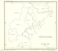
Yokohama Description: Provisional ed. Date: October 23, 1942 Resource Type: cartographic Collection: East Asian Maps in the Bruman Collection
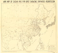
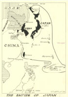
War Map Of China And Far East Showing Japanese Aggression Date: 1942 Resource Type: cartographic Collection: East Asian Maps in the Bruman Collection
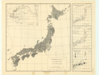
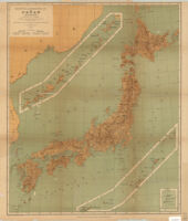
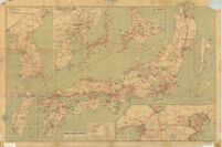
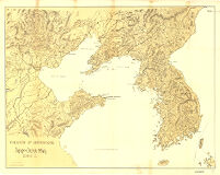
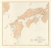
Travellers' map of Japan, 1939 Description: Ancillary maps: Tyōsen -- Taiwan -- General map of Japan -- Hokkaido -- Karahuto -- Okinawa -- Ōsaka -- Tōkyō. Date: [1939] Resource Type: cartographic Collection: East Asian Maps in the Bruman Collection
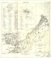
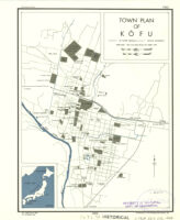
Town Plan Of Kofu Description: Provisional ed. Date: 26 September 1944 Resource Type: cartographic Collection: East Asian Maps in the Bruman Collection
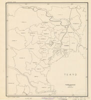
Tokyo Description: Provisional ed. Date: October 23, 1942 Resource Type: cartographic Collection: East Asian Maps in the Bruman Collection
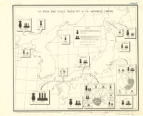
The Iron And Steel Industry Of The Japanese Empire Date: 1942 Resource Type: cartographic Collection: East Asian Maps in the Bruman Collection
Theater Of Operations Japan-China War 1894-5 Date: 1895 Resource Type: cartographic Collection: East Asian Maps in the Bruman Collection
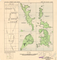
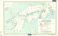
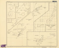
Strategic Japanese Island Groups / Bonin And Volcano Islands Date: July 1944 Resource Type: cartographic Collection: East Asian Maps in the Bruman Collection
Special Map A Tokyo Problem Date: 1944 Resource Type: cartographic Collection: East Asian Maps in the Bruman Collection
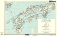
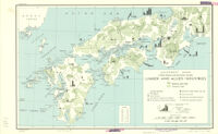
Southwest Japan (Kyushu, Shikoku, And Southwest Honshu) Water Works And Springs Description: Provisional ed. Date: 31 July 1944 Resource Type: cartographic Collection: East Asian Maps in the Bruman Collection
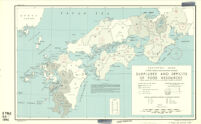
Southwest Japan (Kyushu, Shikoku, And Southwest Honshu) Surpluses And Deficits Of Food Resources / Combined Averages (1935, 1937, 1939) Of All Food Products Available For Consumption Description: Provisional ed. Date: 31 July 1944 Resource Type: cartographic Collection: East Asian Maps in the Bruman Collection
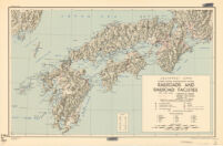
Southwest Japan (Kyushu, Shikoku, And Southwest Honshu) Railroads And Railroad Facilities Date: 31 July 1944 Resource Type: cartographic Collection: East Asian Maps in the Bruman Collection
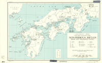
Southwest Japan (Kyushu, Shikoku, And Southwest Honshu) Non-Ferrous Metals / Mines And Processing Plants Description: Provisional ed. Date: 31 July 1944 Resource Type: cartographic Collection: East Asian Maps in the Bruman Collection
Southwest Japan (Kyushu, Shikoku, And Southwest Honshu) Machinery Production / Percentage Of Production (Value) Of Japan Proper, 1938, By Prefectures Description: Provisional ed. Date: 31 July 1944 Resource Type: cartographic Collection: East Asian Maps in the Bruman Collection
Southwest Japan (Kyushu, Shikoku, And Southwest Honshu) Lumber And Allied Industries Description: Provisional ed. Date: 31 July 1944 Resource Type: cartographic Collection: East Asian Maps in the Bruman Collection
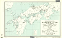
Southwest Japan (Kyushu, Shikoku, And Southwest Honshu) Iron And Steel Industry / Iron Mines And Deposits Description: Provisional ed. Date: 31 July 1944 Resource Type: cartographic Collection: East Asian Maps in the Bruman Collection
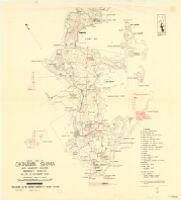
Southwest Japan (Kyushu, Shikoku, And Southwest Honshu) Industrial Concentration 1943 Description: Provisional ed. Date: 31 July 1944 Resource Type: cartographic Collection: East Asian Maps in the Bruman Collection
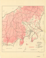
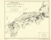
Southwest Japan (Kyushu, Shikoku, And Southwest Honshu) Distribution Of Population Description: Provisional ed. Date: 2 August 1944 Resource Type: cartographic Collection: East Asian Maps in the Bruman Collection
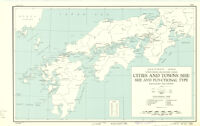
Southwest Japan (Kyushu, Shikoku, And Southwest Honshu) Cities And Towns (Shi) Size And Functional Type / Population (1940 Census) Description: Provisional ed. Date: 31 July 1944 Resource Type: cartographic Collection: East Asian Maps in the Bruman Collection
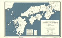
Southwest Japan (Kyushu, Shikoku, And Southwest Honshu) Administrative Divisions Description: Provisional ed. Date: 29 September 1944 Resource Type: cartographic Collection: East Asian Maps in the Bruman Collection
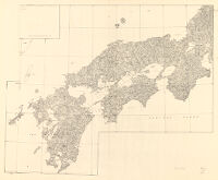
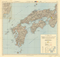
Southwest Japan (Kyushu, Shikoku, And Southwest Honshu) Description: Provisional ed. Date: 31 July 1944 Resource Type: cartographic Collection: East Asian Maps in the Bruman Collection
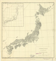
Southern Japan Description: 1st ed. Date: 1945 Resource Type: cartographic Collection: East Asian Maps in the Bruman Collection
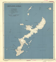
Sketch Map Of Kinawa Shima And Adjacent Islands Mansei Shoto As Of 10 October 1944 Date: 10 October 1944 Resource Type: cartographic Collection: East Asian Maps in the Bruman Collection
Sea fisheries of eastern Asia Description: compiled and drawn in the Geographic Division, C.O.I. Date: 1942]March 12, 1942 Resource Type: cartographic Collection: East Asian Maps in the Bruman Collection
Ryukyu Islands roads, railroads and cables Description: Provisional ed. Date: 1942 Resource Type: cartographic Collection: East Asian Maps in the Bruman Collection
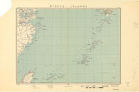
Ryukyu Islands Description: Relief represented by contours. Date: 29 May 19441944 Resource Type: cartographic Collection: East Asian Maps in the Bruman Collection
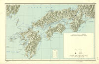
Relief Map Of Southern Japan Date: February 1944 Resource Type: cartographic Collection: East Asian Maps in the Bruman Collection
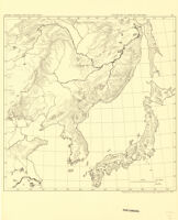
[Railroads in China, Manchuria, Korea, Japan and the eastern U.S.S.R.] Description: Provisional ed. Date: May 6, 1942 Resource Type: cartographic Collection: East Asian Maps in the Bruman Collection
Poster of two doves kissing with a heart Description: Poster held by Louise M. Darling Biomedical Library. History & Special Collections, Collection no. 306, item JA001. Resource Type: still image Collection: AIDS Posters Collection
Poster of children painting a "Stop AIDS" sign [descriptive] Description: Part of "AIDS World Day" event. Resource Type: still image Collection: AIDS Posters Collection
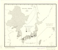
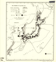
Population densities in Japan Description: Shows population densities by prefectures and provinces. Date: 1942]May 9 19421942 Resource Type: cartographic Collection: East Asian Maps in the Bruman Collection
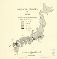
Population Densities In Japan Date: 1940 Resource Type: cartographic Collection: East Asian Maps in the Bruman Collection
Physiographic Diagram Of Japan By Guy-Harold Smith Resource Type: cartographic Collection: East Asian Maps in the Bruman Collection
Physiographic diagram of Japan : 1933 Description: "Pl. II." Date: 1933c1934 Resource Type: cartographic Collection: East Asian Maps in the Bruman Collection
Outline Map Of Japan And Manchuria Date: 1937 Resource Type: cartographic Collection: East Asian Maps in the Bruman Collection
Osaka-Ko Se Description: 1st ed. Date: 1945 Resource Type: cartographic Collection: East Asian Maps in the Bruman Collection
Orographical And Hydrographical Map Of Japan (Dai-Nippon) On A Scale Of 1:2.930.000 Designed And Drawn From The Date Of Prof. Dr J.Rein, And After Existing Charts And Japanese Authorities By J.Rittau 1880. Date: 1880 Resource Type: cartographic Collection: East Asian Maps in the Bruman Collection
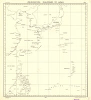
Orientation, Philippines to Japan Description: Provisional ed. Date: 194421 October 1944 Resource Type: cartographic Collection: East Asian Maps in the Bruman Collection
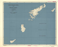
Okino-Erabu Shima To Kikaiga Shima Description: Provisional ed. Date: 28 October 1944 Resource Type: cartographic Collection: East Asian Maps in the Bruman Collection
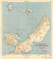
Okinawa Shima Date: JAN 1945 Resource Type: cartographic Collection: East Asian Maps in the Bruman Collection
Okinawa Shima Date: January 1945 Resource Type: cartographic Collection: East Asian Maps in the Bruman Collection
Okinawa-Shima Description: Provisional ed. Date: 27 October 1944 Resource Type: cartographic Collection: East Asian Maps in the Bruman Collection
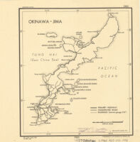
Okinawa-Jima Description: Provisional ed. Date: 24 April 1945 Resource Type: cartographic Collection: East Asian Maps in the Bruman Collection
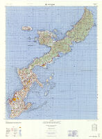
Okinawa Description: 1st ed. Date: 1958 Resource Type: cartographic Collection: East Asian Maps in the Bruman Collection
Northern Japanese fisheries Description: Outline map showing 200 meter submarine contour of Japan, as well as the mainlands that border Sea of Japan and Sea of Okhotsk. Date: May 19, 1942[1942] Resource Type: cartographic Collection: East Asian Maps in the Bruman Collection
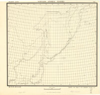
Northern Japan Description: 1st ed. Date: 1945 Resource Type: cartographic Collection: East Asian Maps in the Bruman Collection
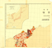
Nihon Teikoku chishitsu zu = : Geological map of Japanese Empire Description: Scale 1:2,000,000. Date: 1926 Resource Type: cartographic Collection: East Asian Maps in the Bruman Collection
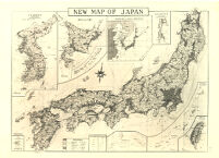
New Map Of Japan Date: 1935 Resource Type: cartographic Collection: East Asian Maps in the Bruman Collection
Map Of Kyushu, Shikoku & Southern Honshu Description: Provisional ed. Date: 1945 Resource Type: cartographic Collection: East Asian Maps in the Bruman Collection

![[Railroads in China, Manchuria, Korea, Japan and the eastern U.S.S.R.]](https://iiif.library.ucla.edu/iiif/2/ark%3A%2F21198%2Fzz002hf423/full/!200,200/0/default.jpg)

![Poster of children painting a "Stop AIDS" sign [descriptive]](https://iiif.library.ucla.edu/iiif/2/ark%3A%2F21198%2Fzz0002kmvd/full/!200,200/0/default.jpg)