Search
Search Constraints
You searched for:
Language
English
Remove constraint Language: English
Resource Type
cartographic
Remove constraint Resource Type: cartographic
Start Over

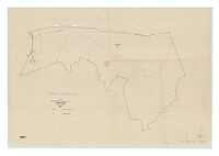
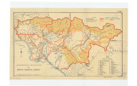
![[Western Coast of the United States including Mexico]](https://iiif.library.ucla.edu/iiif/2/ark%3A%2F21198%2Fzz002cdz2k%2Fhn387508/full/!200,200/0/default.jpg)

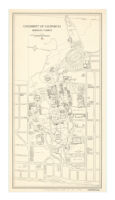

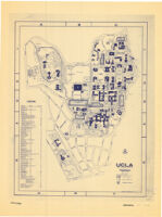
![UCLA : [map of University of California, Los Angeles]](https://iiif.library.ucla.edu/iiif/2/ark%3A%2F21198%2Fz1vf2fp7/full/!200,200/0/default.jpg)
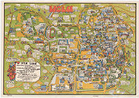
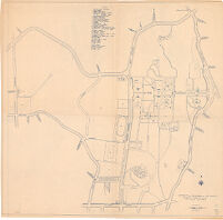
![UCLA campus : [map].](https://iiif.library.ucla.edu/iiif/2/ark%3A%2F21198%2Fz1j71xg3/full/!200,200/0/default.jpg)