Using Digital Collections Content
About
Give Us Feedback
Search in
search for
Search
All Fields
Title
Subject
Search
Browse items
Subject
Japan--Maps
195
Germany--Maps
157
Los Angeles (Calif.)--Maps
129
France--Maps
110
United States -- Maps
109
more
Subject
»
Resource Type
cartographic
3,518
still image
8
Genre
map
✕
[remove]
3,520
Road maps.
77
Pictorial maps.
50
Thematic maps.
49
Topographic maps.
49
more
Genre Sim
»
Names
Historic Urban Plans (Firm).
19
California. Division of Mines.
6
Geological Survey (U.S.).
5
A.L. Bancroft & Company.
4
California. Land-use Adjustment Survey.
4
more
Named Subject Sim
»
Location
California
363
Japan
210
Germany
156
United States
151
Los Angeles (Calif.)
130
more
Location Sim
»
Date
Date range begin
–
Date range end
Current results range from
1480
to
2002
View distribution
Unknown
1,130
Language
English
2,647
German
263
French
180
Spanish
146
Latin
114
more
Human Readable Language Sim
»
Collection
Henry J. Bruman Map Collection
3,034
East Asian Maps in the Bruman Collection
485
Repository
University of California, Los Angeles. Library. Henry J. Bruman Map Collection
3,031
Search Constraints
You searched for:
Genre
map
✖
Remove constraint Genre: map
Start Over
3520
Catalog Results
Sort by Date (newest)
Relevance
Title (A-Z)
Title (Z-A)
Date (newest)
Date (oldest)
Number of results to display per page
20 per page
10
per page
20
per page
50
per page
100
per page
View results as:
List
Created with Sketch.
List View
List
Gallery
Created with Sketch.
Gallery View
Gallery
‹ Prev
Next ›
1
2
3
4
5
…
174
175
176
Search Results
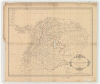
Carta de la Republica de Colombia (Antigua Nueva Granada) Dividida en Departamentos 1886.
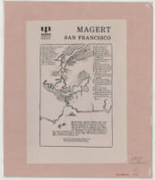
Magert San Francisco
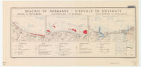
Beaches of Normandy - Vierville to Houlgate
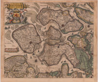
Comitatus Zelandiae Accurata & Noviffimadelineatia.
Henry J. Bruman Map Collection
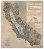
Map of California showing general plan for the reclamation of the entire Sacramento and San Joaquin Valleys
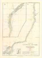
Map of the Congo River between Leopoldville and Stanley Falls. 1 : from running surveys in the steamers "Peace" and "Goodwill"
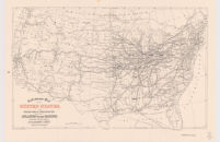
Railroad Map of the United States Showing the Through Lines of Communication from the Atlantic to the Pacific
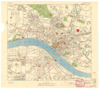
Town Plan of Bonn and Beuel
Map of a portion of Whittier-Fullerton oil fields, including Whittier, West Coyote, and Montebello, Los Angeles & Orange Counties, Cal
Einienführung während des Reichsparteitages 1938.
Panoramic perspective of Central Valley Project of California
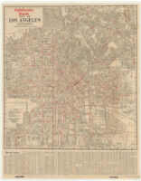
City of Los Angeles, California
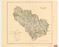
Camp d'Instruction de la Courtine
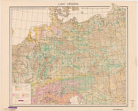
Land Utilization
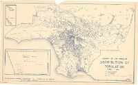
County of Los Angeles distribution of population, April, 1950.
California Bank map of Los Angeles, California.
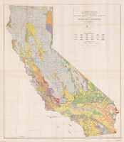
Reconnaissance erosion survey of the State of California
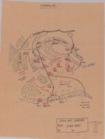
Paraguay
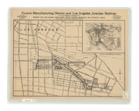
Central Manufacturing District and Los Angeles Junction Railway, Los Angeles California, showing rail and harbor connections, traffic roads,...
See More Results
‹ Prev
Next ›
1
2
3
4
5
…
174
175
176