Search
Search Constraints
You searched for:
Location
California
Remove constraint Location: California
Date
Unknown
Remove constraint Date: Unknown
Start Over
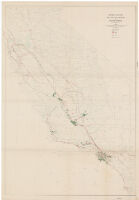
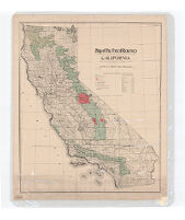
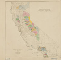
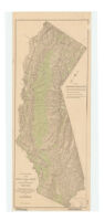
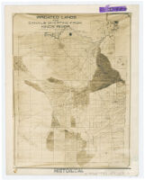
![Detail irrigation map : [southern San Joaquin Valley, Calif.]](https://iiif.library.ucla.edu/iiif/2/ark%3A%2F21198%2Fzz002b941q%2Fk785r12m/full/!200,200/0/default.jpg)