Using Digital Collections Content
About
Give Us Feedback
Search in
search for
Search
All Fields
Title
Subject
Search
Browse items
Subject
Germany--History--1933-1945--Maps
27
Germany--Maps
25
Germany--Boundaries--History
2
Poland--Maps
2
Austria--Maps
1
more
Subject
»
Resource Type
cartographic
27
Genre
map
27
Road maps.
1
ger
1
Location
Germany
22
Poland
2
Austria
1
Czchoslovakia
1
Czechoslovakia
1
more
Location Sim
»
Date
Date range begin
–
Date range end
Current results range from
1940
to
1945
View distribution
Unknown
1
Language
English
19
German
6
Collection
Henry J. Bruman Map Collection
27
Repository
University of California, Los Angeles. Library. Henry J. Bruman Map Collection
27
Search Constraints
You searched for:
Subject
Germany--History--1933-1945--Maps
✖
Remove constraint Subject: Germany--History--1933-1945--Maps
Start Over
27
Catalog Results
Sort by Relevance
Relevance
Title (A-Z)
Title (Z-A)
Date (newest)
Date (oldest)
Number of results to display per page
10 per page
10
per page
20
per page
50
per page
100
per page
View results as:
List
Created with Sketch.
List View
List
Gallery
Created with Sketch.
Gallery View
Gallery
‹ Prev
Next ›
1
2
3
Search Results
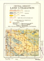
Central Germany Land Utilization
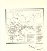
Germany: Principal Sources of Rock for Road Construction
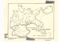
Location of the Paper Industry In Germany, 1925
Germany Distribution of the Food Processing Industry (1939)
Eastern Front
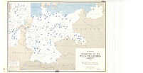
Germany. Average Number of Letters Per Inhabitant by Postal Districts (1 April 1938 - 31 March 1939)
Commercial Ore Deposits of Central Germany
Germany Distribution of the Glass and Ceramics Industry (1939)
Germany Terrain & Selected Railroads
Germany Distribution of the Textile Industry (1939)
See More Results
‹ Prev
Next ›
1
2
3