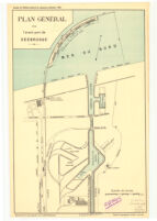
Plan Général de l'avant-port de Zeebrugge Date: 1905 Resource Type: cartographic Collection: Henry J. Bruman Map Collection
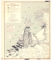
Netherlands, areas of inundation Description: R & A, OSS. Date: 1945 Resource Type: cartographic Collection: Henry J. Bruman Map Collection
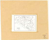
Tableau D'Assemblage de la Carte des Pay-Bas Autrichiens, de Fricx Date: 1744 Resource Type: cartographic Collection: Henry J. Bruman Map Collection
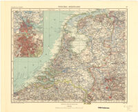
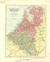
Netherlands Belgium and Luxemburg Date: 1915 Resource Type: cartographic Collection: Henry J. Bruman Map Collection
[The Netherlands in Europe, Western Hemisphere and in the East] Date: 1650 Resource Type: cartographic Collection: Henry J. Bruman Map Collection
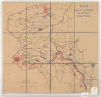
Karte 4. Lage vor der Schlacht an der Marne (5 Sept. 1914 abds.) TEST Date: 1914 Resource Type: cartographic Collection: Henry J. Bruman Map Collection
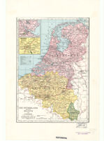
The Netherlands (Holland) Belgium and Lexemburg Date: 1945 Resource Type: cartographic Collection: Henry J. Bruman Map Collection
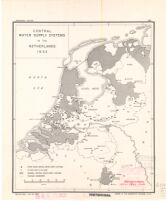
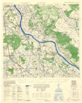
Central Water Supply Systems in the Netherlands 1933 Date: 1942 Resource Type: cartographic Collection: Henry J. Bruman Map Collection
![[The Netherlands in Europe, Western Hemisphere and in the East]](https://iiif.library.ucla.edu/iiif/2/ark%3A%2F21198%2Fzz002cz9rx%2Fq365x29x/full/!200,200/0/default.jpg)