Using Digital Collections Content
About
Give Us Feedback
Search in
search for
Search
All Fields
Title
Subject
Search
Browse items
Subject
Germany--Maps
154
Germany--History--1933-1945--Maps
30
Military maps
12
Germany--Boundaries--History
11
France--Maps
9
more
Subject
»
Resource Type
cartographic
154
Genre
map
154
Road maps.
5
Pictorial maps.
4
Thematic maps.
4
ger
2
more
Genre Sim
»
Location
Germany
113
Austria
6
Europe
6
Europe, Central
5
Poland
4
more
Location Sim
»
Date
Date range begin
–
Date range end
Current results range from
1595
to
1996
View distribution
Unknown
26
Language
English
89
German
50
French
3
Latin
3
Collection
Henry J. Bruman Map Collection
154
Repository
University of California, Los Angeles. Library. Henry J. Bruman Map Collection
154
Search Constraints
You searched for:
Subject Geographic
Germany--Maps
✖
Remove constraint Subject Geographic: Germany--Maps
Start Over
154
Catalog Results
Sort by Relevance
Relevance
Title (A-Z)
Title (Z-A)
Date (newest)
Date (oldest)
Number of results to display per page
10 per page
10
per page
20
per page
50
per page
100
per page
View results as:
List
Created with Sketch.
List View
List
Gallery
Created with Sketch.
Gallery View
Gallery
‹ Prev
Next ›
1
2
3
4
5
…
14
15
16
Search Results
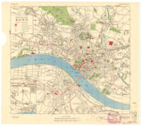
Town Plan of Bonn and Beuel
How Far Is It? [Hoe Ver Het Is?]
Atlas von Bayern
Post Und Eisenbahn Reisekarte. Deutschland
Germany Distribution of the Leather Industry (1939)
Germany and Denmark Number of Days with Ice on Waterways
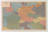
Germany and the Invasion Fronts
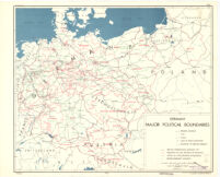
Germany Major Political Boundaries
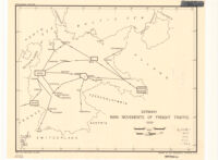
Germany Main Movements of Freight Traffic 1938
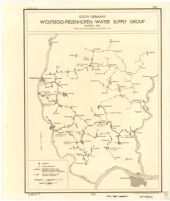
South Germany - Wolfsegg-Pielenhofen Water Supply Group. Bayern, 1935
See More Results
‹ Prev
Next ›
1
2
3
4
5
…
14
15
16
![How Far Is It? [Hoe Ver Het Is?]](https://iiif.library.ucla.edu/iiif/2/ark%3A%2F21198%2Fzz002cz9sf/full/!200,200/0/default.jpg)