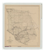
Map of Ventura County, California as compiled by the Office of the County Surveyor Description: Relief represented by spot heights. Date: [1942]1942 Resource Type: cartographic Collection: Henry J. Bruman Map Collection
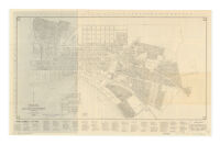
Official Map of the City of San Buenaventura, California Description: Indexed aerial view "Airplane view of the City of Ventura, officially San Buenaventura, and surroundings," and, "Map showing location of Ventura-Maricopa highway," text and statistics on verso Date: [1932?] Resource Type: cartographic Collection: Henry J. Bruman Map Collection
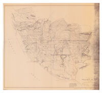
Topographic Map of the Oxnard Plain Ventura County, California Date: 1928 Resource Type: cartographic Collection: Henry J. Bruman Map Collection
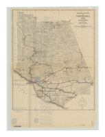
Map of Ventura County California Date: 1937 Resource Type: cartographic Collection: Henry J. Bruman Map Collection
Automobile road map of Ventura Co., California Description: Index, text and ill. on verso. Date: 1936 Resource Type: cartographic Collection: Henry J. Bruman Map Collection
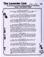
July-August, 1990 Description: name change to The Lavendar Link Date: July-August, 1990 Resource Type: text Collection: Southern California Women for Understanding (SCWU) collection, 1975-1999
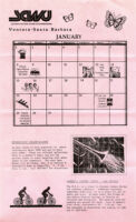
January-February, 1989 Date: January-February, 1989 Resource Type: text Collection: Southern California Women for Understanding (SCWU) collection, 1975-1999
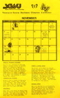
November-December, 1988 Date: November-December, 1988 Resource Type: text Collection: Southern California Women for Understanding (SCWU) collection, 1975-1999
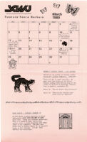
March-April, 1989 Date: March-April, 1989 Resource Type: text Collection: Southern California Women for Understanding (SCWU) collection, 1975-1999
September, 1986 Date: September, 1986 Resource Type: text Collection: Southern California Women for Understanding (SCWU) collection, 1975-1999