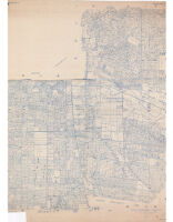
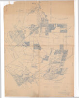
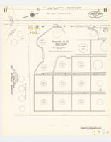
#7 Rancho San Antonio Description: Cadastral map showing landowners.; Blue line print.; Some sheets are plastic treated cloth. Date: 1934 Resource Type: cartographic Collection: Henry J. Bruman Map Collection
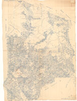
#41 Rancho San Rafael and Los Angeles and Vicinity. Watts Subdivision Description: Cadastral map showing landowners.; Blue line print.; Some sheets are plastic treated cloth. Date: 1943 Resource Type: cartographic Collection: Henry J. Bruman Map Collection
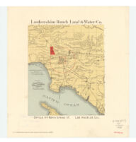
Lankershim Ranch, now North Hollywood (1888) Description: Relief represented by hachures. Date: [199-?] Resource Type: cartographic Collection: Henry J. Bruman Map Collection
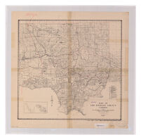
Department of Forester and Firewarden Map of Los Angeles County Date: 1935 Resource Type: cartographic Collection: Henry J. Bruman Map Collection
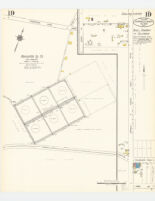
Los Angeles County oil map, Los Angeles County, Cal. : showing the more important tank farms, storage reservoirs, and refineries not shown on other Sanborn maps no. 19 Date: August 1924 Resource Type: cartographic Collection: Henry J. Bruman Map Collection
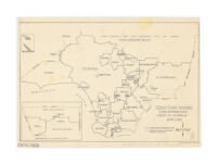
Census county divisions & unincorporated places, County of Los Angeles, April 1, 1960. Date: [1961] Resource Type: cartographic Collection: Henry J. Bruman Map Collection
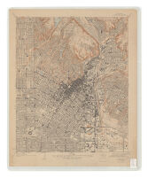
California (Los Angeles County) Los Angeles Quadrangle Date: 1928 Resource Type: cartographic Collection: Henry J. Bruman Map Collection
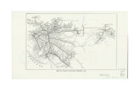
Map of Pacific Electric system, 1912. Description: Scale not given. Date: [1975?] Resource Type: cartographic Collection: Henry J. Bruman Map Collection
Los Angeles County oil map, Los Angeles County, Cal. : showing the more important tank farms, storage reservoirs, and refineries not shown on other Sanborn maps no. 11 Date: August 1924 Resource Type: cartographic Collection: Henry J. Bruman Map Collection