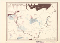
The Industrial Core of Europe Date: Feb. 12, 1942 Resource Type: cartographic Collection: Henry J. Bruman Map Collection
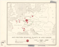
Anti-Friction Bearing Plants in Axis Europe Date: 1944 Resource Type: cartographic Collection: Henry J. Bruman Map Collection
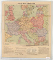
Political map of Central Europe TEST Date: 1938/1939 Resource Type: cartographic Collection: Henry J. Bruman Map Collection
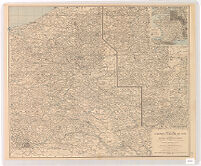
Map of the Western Theatre of War Date: 1918 Resource Type: cartographic Collection: Henry J. Bruman Map Collection
Map of hostile airdromes August 2 1918 TEST Date: 1918 Resource Type: cartographicstill image Collection: Henry J. Bruman Map Collection
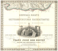
General-Karte des oesterreichischen Kaiserstaates, mit einem grossen Theile der angrenzenden Lainder Description: Relief represented by hachures. Date: 1856 Resource Type: cartographic Collection: Henry J. Bruman Map Collection
Hauptverkehrslinien von Europa.Eisenbahn - Übersichtskarte von Deutschland und den Angrenzenden Ländern. Resource Type: cartographic Collection: Henry J. Bruman Map Collection
Walla Wala Union-Bulletin Date: 1939 Resource Type: cartographic Collection: Henry J. Bruman Map Collection
General-Karte des oesterreichischen Kaiserstaates, mit einem grossen Theile der angrenzenden Länder Description: Relief represented by hachures. Date: 1856- Resource Type: cartographic Collection: Henry J. Bruman Map Collection
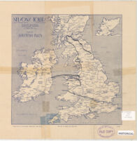
Nelsons Tours. Map of British Isles and Map of Europe Date: 1930 Resource Type: cartographic Collection: Henry J. Bruman Map Collection