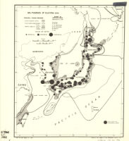
Sea fisheries of eastern Asia Description: compiled and drawn in the Geographic Division, C.O.I. Date: 1942]March 12, 1942 Resource Type: cartographic Collection: East Asian Maps in the Bruman Collection
Stereographic projection : East Asia and the western Pacific Description: Provisional ed. Date: 194527 April 1945 Resource Type: cartographic Collection: East Asian Maps in the Bruman Collection
Far East, Japanese occupied area, major railroads Description: Provisional ed. Date: 1943 Resource Type: cartographic Collection: East Asian Maps in the Bruman Collection
China and Japan Description: Relief represented by contours. Date: 1943 Resource Type: cartographic Collection: East Asian Maps in the Bruman Collection
China and Japan Description: cb Date: 1944 Resource Type: cartographic Collection: East Asian Maps in the Bruman Collection
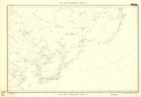
Northwestern Pacific Description: Provisional ed. Date: 6 November 1944 Resource Type: cartographic Collection: East Asian Maps in the Bruman Collection
[East Asia] Description: Shows international borders, major cities and rivers. Date: 19541954] Resource Type: cartographic Collection: East Asian Maps in the Bruman Collection
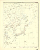
Northeast Asia Description: Provisional ed. Date: 1944 Resource Type: cartographic Collection: East Asian Maps in the Bruman Collection
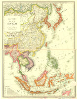
Stanford's Map Of The Far East Date: 1941 Resource Type: cartographic Collection: East Asian Maps in the Bruman Collection
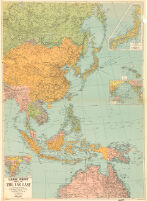
Large Print Map Of The Far East Date: 1944 Resource Type: cartographic Collection: East Asian Maps in the Bruman Collection
![[East Asia]](https://iiif.library.ucla.edu/iiif/2/ark%3A%2F21198%2Fzz002hf23n/full/!200,200/0/default.jpg)