Charte von dem Vorgebürge der Guten Hofnung und den anhegenden Gegenden Date: 1778 Resource Type: cartographic Collection: Southern African Maps in Books
Karte des europaeischen gebiets am Vorgebirge der Guten Hoffnung Date: 1811 Resource Type: cartographic Collection: Southern African Maps in Books
Carte du Cap de Bonne Esperance et de ses environs Date: [1919] Resource Type: cartographic Collection: Southern African Maps in Books
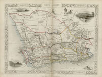
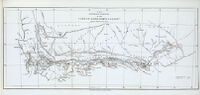
The southern division of the Cape of Good Hope colony Resource Type: cartographic Collection: Southern African Maps in Books
[Map of Saladanha Bay] Date: [1816] Resource Type: cartographic Collection: Southern African Maps in Books
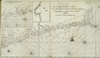
Pas-kaarte van de zuyd-west-kust van Africa; van Cabo Negro tot beoosten Cabo de Bona Esperanca. Niiwlyks besgreven en uyt-gegeven by Jodocus Hondius, etc. Date: 1652 Resource Type: cartographic Collection: Southern African Maps in Books
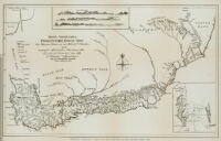
Mappa geographica Promontorii Bonae Spei Date: 1785 Resource Type: cartographic Collection: Southern African Maps in Books
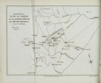
Rough sketch of site of posts on the eastern frontier and British Kaffraria (Cape of Good Hope) Date: [1856] Resource Type: cartographic Collection: Southern African Maps in Books
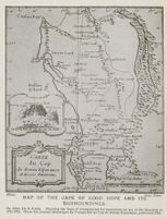
[Map of the Cape of Good Hope] Date: [1916-32] Resource Type: cartographic Collection: Southern African Maps in Books
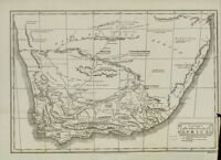
A chart of the southern extremity of Africa Date: 1806 Resource Type: cartographic Collection: Southern African Maps in Books
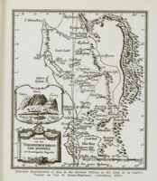

![[Map of Saladanha Bay]](https://iiif.library.ucla.edu/iiif/2/ark%3A%2F21198%2Fzz002bwspb/full/!200,200/0/default.jpg)
![[Map of the Cape of Good Hope]](https://iiif.library.ucla.edu/iiif/2/ark%3A%2F21198%2Fzz002bwtrv/full/!200,200/0/default.jpg)