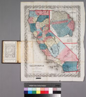
California Description: Scale not given Date: 1853 Resource Type: cartographicstill image Collection: Pamphlet Maps Collection 1750-1965
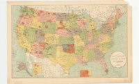
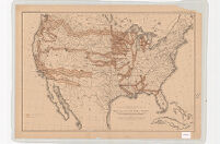
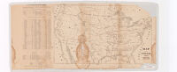
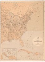
Map of the United States, Canada, Mexico and the West Indies with Central America, showing all the routes to California with a table of distances [cover] Description: Scale not given Date: 1854 Resource Type: cartographicstill image Collection: Pamphlet Maps Collection 1750-1965
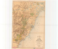
Bancroft's map of California, Nevada, Utah and Arizona [cover] Description: Digitization took place as part of the California Cultures Project. Date: circa 1864 Resource Type: cartographicstill image Collection: Pamphlet Maps Collection 1750-1965
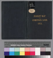
Map of Virginia City and the Comstock Lode, state of Nevada, showing the latest changes up to Jan. 1875 Description: Relief shown by hachures and spot heights Date: 1875 Resource Type: still imagecartographic Collection: Pamphlet Maps Collection 1750-1965
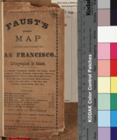
Faust's map of city and county of San Francisco California Description: Scale not given Date: circa 1892 Resource Type: still imagecartographic Collection: Pamphlet Maps Collection 1750-1965
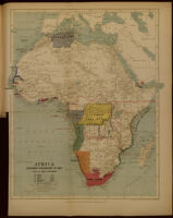
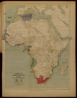
Africa. European possessions in 1885, after the Berlin Conference Date: 1893? Resource Type: cartographic Collection: Southern African Maps in Books
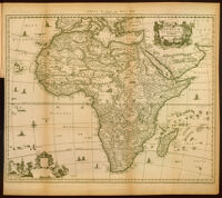
Africa : accurata tabula Description: Relief shown pictorially Date: 1893? Resource Type: cartographic Collection: Southern African Maps in Books
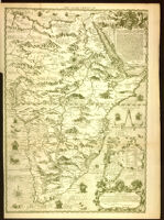
Africa according to Pigafetta, 1591 Description: Relief shown pictorially. Date: 1893? Resource Type: cartographic Collection: Southern African Maps in Books
Africa. European possessions in 1884, before the Berlin Conference Date: 1893? Resource Type: cartographic Collection: Southern African Maps in Books
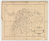
Carta de la Republica de Colombia (Antigua Nueva Granada) Dividida en Departamentos 1886. Date: 1886 Resource Type: cartographic Collection: Henry J. Bruman Map Collection
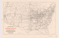
Railroad Map of the United States Showing the Through Lines of Communication from the Atlantic to the Pacific Date: 1880 Resource Type: cartographic Collection: Henry J. Bruman Map Collection
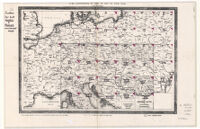
Für die Zusammenstellung der Blätter der Karte von Central - Europa. Date: 1856 Resource Type: cartographic Collection: Henry J. Bruman Map Collection
Mapa del Peru. Departamento de Ancachs con la Nueva Provincia dos de mayo del Depart de Huanuco Date: 1873 Resource Type: cartographic Collection: Henry J. Bruman Map Collection
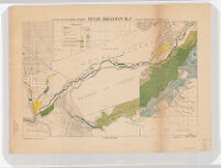
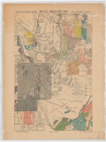
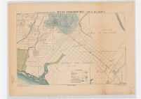
Detail Irrigation Map: Santa Ana Sheet Date: [1888?] Resource Type: cartographic Collection: Henry J. Bruman Map Collection
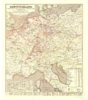
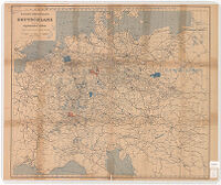
Post Und Eisenbahn Reisekarte. Deutschland Date: 1851 Resource Type: cartographic Collection: Henry J. Bruman Map Collection
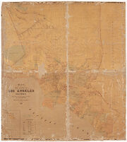
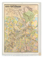
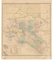
Map of the City of Los Angeles California Date: 1884 Resource Type: cartographic Collection: Henry J. Bruman Map Collection
U.S. Geological Survey Claim Map: Sheet 2; California Mother Lode District Date: 1899 Resource Type: cartographic Collection: Henry J. Bruman Map Collection
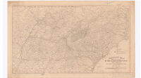
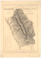
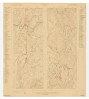
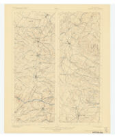
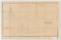
[Map of Wyoming, United States] Date: 1876 Resource Type: cartographic Collection: Henry J. Bruman Map Collection
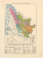
Carte Vinicole de la Gironde Date: [1855] Resource Type: cartographic Collection: Henry J. Bruman Map Collection
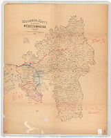
Markungs-Karte des Königreichs Württemberg. Date: 1879 Resource Type: cartographic Collection: Henry J. Bruman Map Collection
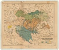
Völker-und Sprachen-Karte der Österreichisch-Ungarischen Monarchie. Date: 1890 Resource Type: cartographic Collection: Henry J. Bruman Map Collection
Detail Irrigation Map: San Bernadino Sheet Date: [1888?] Resource Type: cartographic Collection: Henry J. Bruman Map Collection
U.S. Geological Survey: Los Angeles, California (1897)Copy #2 Date: 1897 Resource Type: cartographic Collection: Henry J. Bruman Map Collection
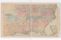
Hazard's Railroad and Military Map of the Southern States Date: 1863 Resource Type: cartographic Collection: Henry J. Bruman Map Collection
Map of the United States and Their Territories Date: 1853 Resource Type: cartographic Collection: Henry J. Bruman Map Collection
Department of the Interior U.S. Geological Survey: California Mother Lode District; Sheet 1 Date: 1899 Resource Type: cartographic Collection: Henry J. Bruman Map Collection
Map of the County of Los Angeles : California Description: Includes table of distances. Date: 1880 Resource Type: cartographic Collection: Henry J. Bruman Map Collection
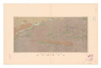
Map of the Forest Hill Divide, Placer County, California Description: based upon surveys and examinations by Ross E. Browne ; drawn by John D. Hoffmann. Date: 1890 Resource Type: cartographic Collection: Henry J. Bruman Map Collection
Military Map of the United States 1870 Date: 1870 Resource Type: cartographic Collection: Henry J. Bruman Map Collection
Planta da Parte da Provincia do Espirito-Santo Date: 1878 Resource Type: cartographic Collection: Henry J. Bruman Map Collection
Interoceanic Ship Canal via the Atrato and Truando Rivers Date: 1866 Resource Type: cartographic Collection: Henry J. Bruman Map Collection
U.S. Geological Survey: Los Angeles, California (1897) Date: 1897 Resource Type: cartographic Collection: Henry J. Bruman Map Collection
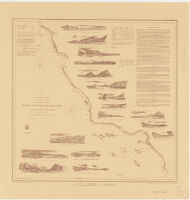
Reconnaissance of the Western Coast of the United States from San Francisco to San Diego Date: 1853 Resource Type: cartographic Collection: Henry J. Bruman Map Collection
Map of the Public Land States and Territories Date: 1865 Resource Type: cartographic Collection: Henry J. Bruman Map Collection
Geological map of the New Almaden Mining District Description: topography by S.W. Bodfish and others. Date: [1885] Resource Type: cartographic Collection: Henry J. Bruman Map Collection
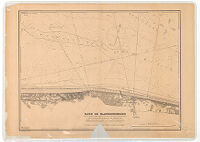
Rade de Blankenberghe Date: 1872 Resource Type: cartographic Collection: Henry J. Bruman Map Collection
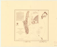
San Diego Entrance and Approaches. California Date: 1853 Resource Type: cartographic Collection: Henry J. Bruman Map Collection
Eisenbahn-Uebersichtskarte von Deutschland und den angrenzenden Ländern Date: 1896 Resource Type: cartographic Collection: Henry J. Bruman Map Collection
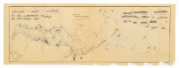
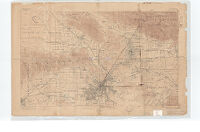
[Western Coast of the United States including Mexico] Date: 1891 Resource Type: cartographic Collection: Henry J. Bruman Map Collection
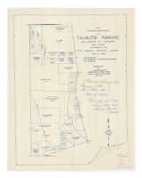
Map Showing Sub-Division of Tajauta Rancho, Los Angeles Co., California Date: 1873 Resource Type: cartographic Collection: Henry J. Bruman Map Collection
Military Map Showing the Marches of the United States Forces Date: 1865 Resource Type: cartographic Collection: Henry J. Bruman Map Collection
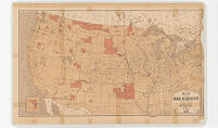
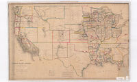
Map showing Indian Reservations within the limits of the United States Date: 1894 Resource Type: cartographic Collection: Henry J. Bruman Map Collection
Detail Irrigation Map: Riverside Sheet Date: [1888?] Resource Type: cartographic Collection: Henry J. Bruman Map Collection
Map of the United States Exhibiting the Grants of Land Made by the General Government to Aid in the Construction of Railroads and Wagon Roads Date: 1878 Resource Type: cartographic Collection: Henry J. Bruman Map Collection
Map of the county of Los Angeles California / compiled from U.S. land surveys records of private surveys and from other reliable sources 1877 Description: Cadastral map. Date: 1877 Resource Type: cartographic Collection: Henry J. Bruman Map Collection
Detail Irrigation Map: Los Angeles Sheet Date: [1888?] Resource Type: cartographic Collection: Henry J. Bruman Map Collection
Map of the Indian Reservations within the limits of the United States Date: 1883 Resource Type: cartographic Collection: Henry J. Bruman Map Collection
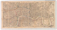
Plan of the City of Aberdeen. Date: 1890 Resource Type: cartographic Collection: Henry J. Bruman Map Collection
Showing the partition of that certain 120 71/100 acre tract belonging to the estate of Pedro Talamantes deceased : which was allotted to him in decree of partition of Rancho La Ballona in the suit, John D. Young et. al vs. Ygnacio Machado et. al, in the district court of the 17th Judicial District of the State of California in and for Los Angeles County Cal. A.D. 1868 case no. 965 Date: 1889 Resource Type: cartographic Collection: Henry J. Bruman Map Collection
![Map of the United States, Canada, Mexico and the West Indies with Central America, showing all the routes to California with a table of distances [cover]](https://iiif.library.ucla.edu/iiif/2/ark%3A%2F21198%2Fzz001d1csb%2Ffn85mg6h/full/!200,200/0/default.jpg)
![Bancroft's map of California, Nevada, Utah and Arizona [cover]](https://iiif.library.ucla.edu/iiif/2/ark%3A%2F21198%2Fzz001d1g81%2F52520c5d/full/!200,200/0/default.jpg)
![[Map of Wyoming, United States]](https://iiif.library.ucla.edu/iiif/2/ark%3A%2F21198%2Fzz002cf0bn/full/!200,200/0/default.jpg)
![[Western Coast of the United States including Mexico]](https://iiif.library.ucla.edu/iiif/2/ark%3A%2F21198%2Fzz002cdz2k%2Fhn387508/full/!200,200/0/default.jpg)