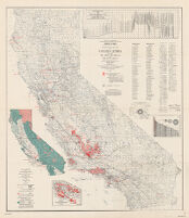
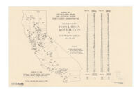
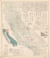
Includes "Map of California showing major rock units and their significance for oil and gas," "Enlarged map of the Los Angeles basin area," index to oil and gas fields, 1 chart and 2 graphs.
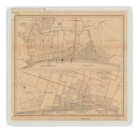
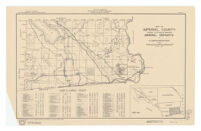
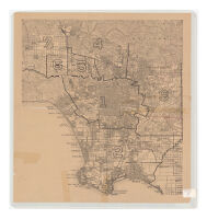
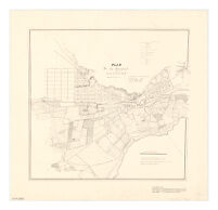
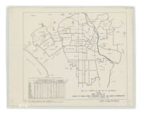
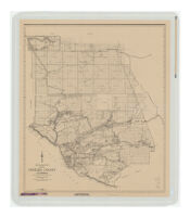
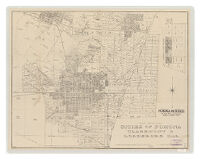
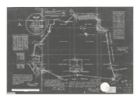
prepared by Alfred Jones, County Engineer from a survey completed in 1938 by the Chief Engineer of the Regional Planning Commission, the Road Commissioner, and the County Engineer.
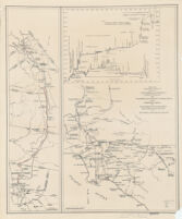
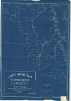
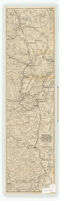
One map shows southern portion of Los Angeles Aqueduct (to Fairmont Reservoir) and the route of the Colorado River Aqueduct; the other map shows the Los Angeles Aqueduct and proposed Mono Craters Tunnel.
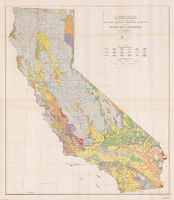
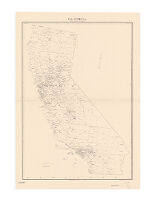
Includes text, indexes, inset of "Map of California, showing major rock units and their significance to exploration for tungsten deposits," 2 diagrams, and 5 graphs.
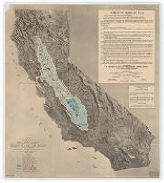

![[Relief map of California] : base compiled chiefly from latest U.S. Land Office, War Department](https://iiif.library.ucla.edu/iiif/2/ark%3A%2F21198%2Fzz002bcvmj%2Fg385ch8g/full/!200,200/0/default.jpg)
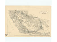
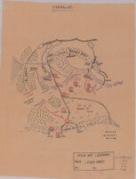
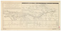
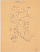
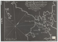
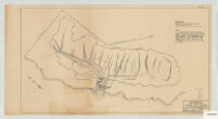
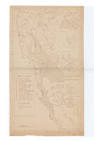
![Map showing a part of the Palomas Mining District and the Piru creek ditch, situated in Los Angles [sic] and Ventura Cs. California](https://iiif.library.ucla.edu/iiif/2/ark%3A%2F21198%2Fzz002c1b0x/full/!200,200/0/default.jpg)
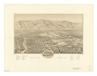
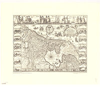
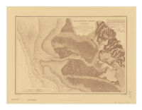
![Pueblo de Neustra [sic] Senora la Reina de Los Angeles de Porciuncula, Mdcclxix](https://iiif.library.ucla.edu/iiif/2/ark%3A%2F21198%2Fzz002c19rt%2Fqd93741k/full/!200,200/0/default.jpg)
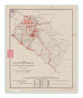
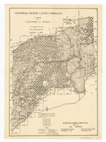
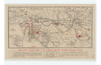
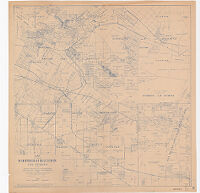
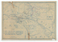
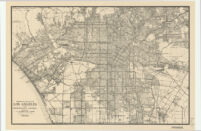
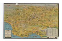
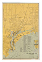
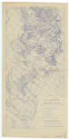
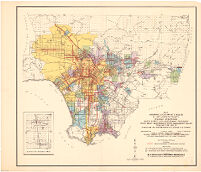
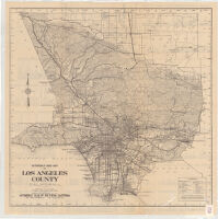
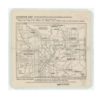
![[Map of Los Angeles County, California]](https://iiif.library.ucla.edu/iiif/2/ark%3A%2F21198%2Fzz002c1nn3/full/!200,200/0/default.jpg)