Search
Search Constraints
You searched for:
Resource Type
cartographic
Remove constraint Resource Type: cartographic
Date
Unknown
Remove constraint Date: Unknown
Start Over
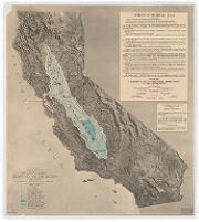
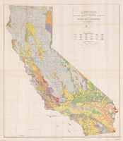
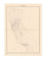

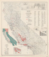
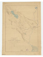
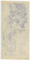
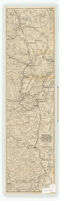
![[Relief map of California] : base compiled chiefly from latest U.S. Land Office, War Department](https://iiif.library.ucla.edu/iiif/2/ark%3A%2F21198%2Fzz002bcvmj%2Fg385ch8g/full/!200,200/0/default.jpg)
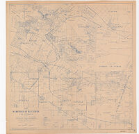
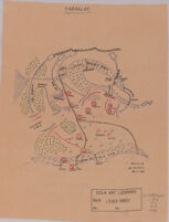
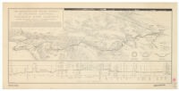
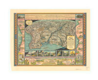
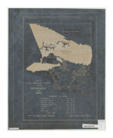
![Map showing a part of the Palomas Mining District and the Piru creek ditch, situated in Los Angles [sic] and Ventura Cs. California](https://iiif.library.ucla.edu/iiif/2/ark%3A%2F21198%2Fzz002c1b0x/full/!200,200/0/default.jpg)
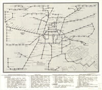
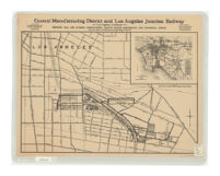
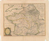
![Pueblo de Neustra [sic] Senora la Reina de Los Angeles de Porciuncula, Mdcclxix](https://iiif.library.ucla.edu/iiif/2/ark%3A%2F21198%2Fzz002c19rt%2Fqd93741k/full/!200,200/0/default.jpg)
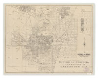
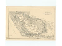
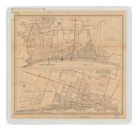
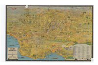
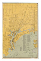
![[Map of Los Angeles County, California]](https://iiif.library.ucla.edu/iiif/2/ark%3A%2F21198%2Fzz002c1nn3/full/!200,200/0/default.jpg)