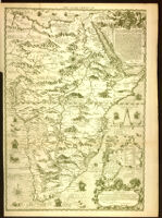
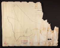
This file contains 4 maps and Ordnance Surveys of the remaining areas of Ibicaba farm in 1977: (1) “Global map of the lands of Ibicaba farm – Cordeirópolis” (free translation), as registered in one of the Notarial Registry Offices of the municipality of Iracemápolis. (2) Ordnance Survey of Ibicaba farm and its boundaries. (3) “Sketch of the remaining areas of Ibicaba farm”. (4) Idem, in tracing paper.
Poster depicts a map of Israel, with international boundaries, armistice boundaries, Jewish cities, Jewish settlements, Arab cities, Arab villages, roads, railroads, rivers, and rivulets (wadis).
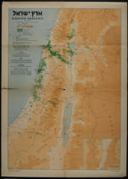
Poster is a map of Eretz Israel, depicting Keren Kayemeth and other Jewish lands, "musha" (land held in joint ownership) with Keren Kayemeth and private individuals, Jewish settlements, Arab localities, settlements established by Keren Hayesod, settlements subsidized by Keren Hayesod, and settlements with individual settlers receiving Keren Hayesod subsidies.

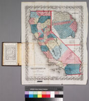
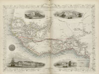
![Map of the United States, Canada, Mexico and the West Indies with Central America, showing all the routes to California with a table of distances [cover]](https://iiif.library.ucla.edu/iiif/2/ark%3A%2F21198%2Fzz001d1csb%2Ffn85mg6h/full/!200,200/0/default.jpg)

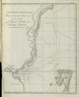
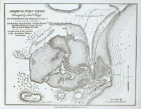
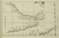
![[Map of Saladanha Bay]](https://iiif.library.ucla.edu/iiif/2/ark%3A%2F21198%2Fzz002bwspb/full/!200,200/0/default.jpg)
![[Autograph letter from R. B. Fisher]](https://iiif.library.ucla.edu/iiif/2/ark%3A%2F21198%2Fzz002bwsnt/full/!200,200/0/default.jpg)