Using Digital Collections Content
About
Give Us Feedback
Search in
search for
Search
All Fields
Title
Subject
Search
Browse items
Subject
Early maps--Facsimiles
31
Early maps
26
1501--1844
20
Hoet, Gerard, 1648-1733
10
Picart, Bernard, 1673-1733
10
more
Subject
»
Resource Type
cartographic
115
text
37
still image
27
Genre
map
114
Manuscripts
29
news photographs
27
engravings (prints)
25
glass plate negatives
25
more
Genre Sim
»
Names
Hoet, Gerard, 1648-1733
10
Picart, Bernard, 1673-1733
10
Gouwen, Gilliam van der
4
Blois, Abraham de, active 1679-1720
3
Benedict, Saint, Abbot of Monte Cassino.
2
more
Named Subject Sim
»
Location
France
4
London (England)
4
Edinburgh (Scotland)
3
Great Britain
3
Ireland
3
more
Location Sim
»
Date
Date range begin
–
Date range end
Current results range from
1001
to
1989
View distribution
Unknown
47
Language
Latin
✕
[remove]
197
English
69
German
33
French
32
Dutch
27
more
Human Readable Language Sim
»
Collection
Henry J. Bruman Map Collection
114
Los Angeles Times Photographic Collection
27
Medieval and Renaissance Manuscripts
24
Hathaway Manuscripts
22
St. Gall Manuscripts
7
more
Collection
»
Repository
University of California, Los Angeles. Library. Henry J. Bruman Map Collection
113
University of California, Los Angeles. Library. Department of Special Collections
27
Search Constraints
You searched for:
Language
Latin
✖
Remove constraint Language: Latin
Start Over
197
Catalog Results
Sort by Relevance
Relevance
Title (A-Z)
Title (Z-A)
Date (newest)
Date (oldest)
Number of results to display per page
20 per page
10
per page
20
per page
50
per page
100
per page
View results as:
List
Created with Sketch.
List View
List
Gallery
Created with Sketch.
Gallery View
Gallery
‹ Prev
Next ›
1
2
3
4
5
6
7
8
9
10
Search Results
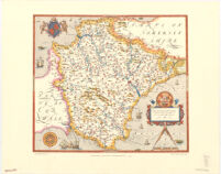
Saxton’s map of Devonshire, 1575
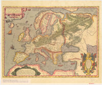
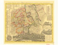
Historical Map of Europe. From the Theatrum Orbis Terrarum by Abraham Ortelius
Aventon
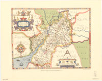
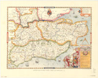
Saxton's map of Gloucestershire, 1577
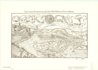
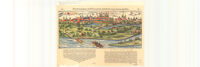
Situs ciuitatis confluentinæ, ubi scilicet Mosella fluuius Rheno miscetur
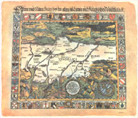
Tractus Nord - Lingensis Germ. Ries.
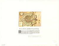
Wilhelmostadvm
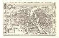
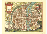
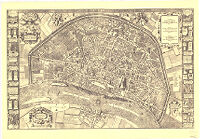
Lutetia Parisiorum Urbs, Toto Orbe Celeberrima Notissimaque, Caput Regni Franciae.
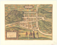
Edenbvrg.
Plano de la Civd. De S. Fran Del Qviuto
Lvtetia Vulgo Paris Anno 1575
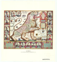
Leo Belgicus - Jan Van Doetecum
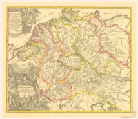
Hydrographia Germaniae. Homann
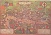
Londin Vm, Feracissimi An: Gliae Regni Metropolis
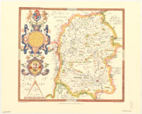
Saxton’s map of Wiltshire, 1576
Saxton's map of Kent, Sussex, Surrey, and Middlesex, 1575
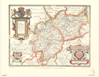
Saxton’s map of Warwickshire and Leicestershire, 1576
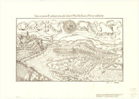
Nemetum Ciuitatis Uetuftiffimae Pictura, Quamhodie Uulgo Spiram Appellant.
Map of the City of Cologne From The Year 1571 By Arnold Mercator
Situs Ciuitatis Confluentinæ, Ubi Fcilicet Mofella Fluuius Rheno Mifcetur.
See More Results
‹ Prev
Next ›
1
2
3
4
5
6
7
8
9
10