Search
Search Constraints
You searched for:
Language
English
Remove constraint Language: English
Location
California, Southern
Remove constraint Location: California, Southern
Start Over
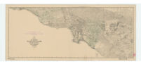
![[Map of southern California coastal region]](https://iiif.library.ucla.edu/iiif/2/ark%3A%2F21198%2Fzz002c1bwc/full/!200,200/0/default.jpg)