Search
Search Results
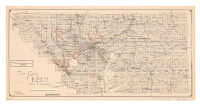
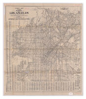
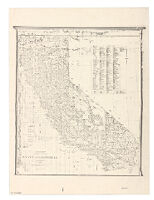
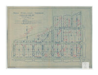
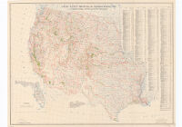
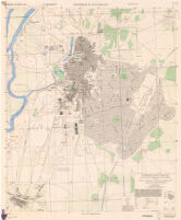
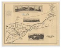
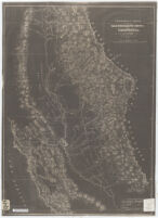
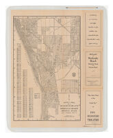
Description:
"Width of shaded sections indicate number of persons daily. This includes persons traveling in automobiles, buses, street cars and on foot."
Date:
1931
Resource Type:
cartographic
Collection:
Henry J. Bruman Map Collection
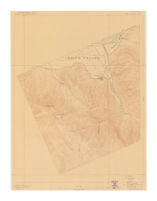
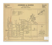
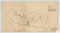
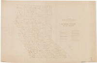
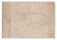
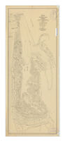
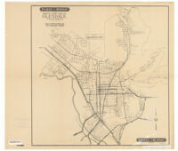
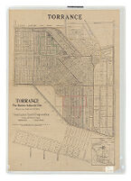
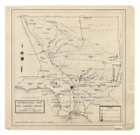
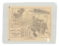
Description:
"Torrance Tract as per map recorded in book 22, pages 94 and 95 of Maps of the records of Los Angeles County."
Date:
[ca. 1921]
Resource Type:
cartographic
Collection:
Henry J. Bruman Map Collection
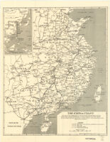
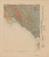
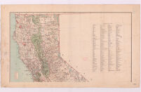
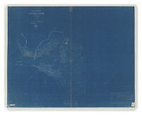
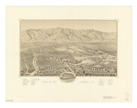
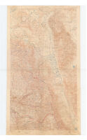
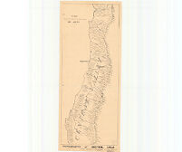
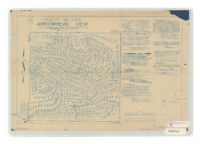
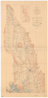
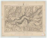
Description:
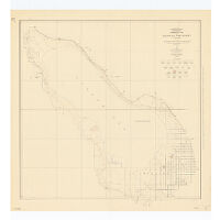
"Control by U.S. Geological Survey, U.S. Coast and Geodetic Survey, and Pan American Petroleum Company. Surveyed in 1927. North American datum."
Date:
1930
Resource Type:
cartographic
Collection:
Henry J. Bruman Map Collection
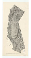
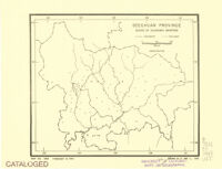
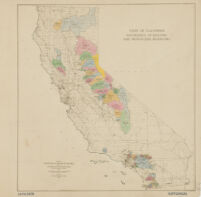
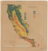
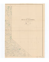
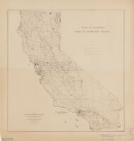
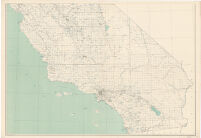
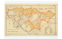
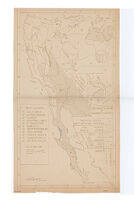
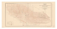
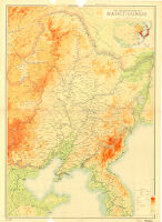
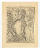
Description:
"isohyets are drawn for each 5-inch difference in rainfall, and on the basis of records adjusted to a uniform period of 25 seasons ending 1919-20."
Date:
1925?]
Resource Type:
cartographic
Collection:
Henry J. Bruman Map Collection
Description:
Shows the Los Angeles aqueduct where it enters the San Fernando Valley, and reservoirs in the San Fernando Valley and the Hollywood Hills.
Date:
[1973?]
Resource Type:
cartographic
Collection:
Henry J. Bruman Map Collection
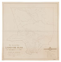
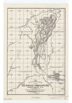
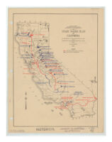
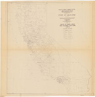
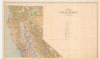
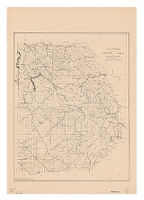
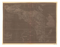
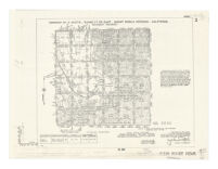
Description:
prepared for National Resources Board and the California State Planning Board, Land-Use Adjustment Survey ; submitted by Land Planning Consultant for California.
Date:
1934
Resource Type:
cartographic
Collection:
Henry J. Bruman Map Collection


![The unique map of California [electronic resource]](https://iiif.library.ucla.edu/iiif/2/ark%3A%2F21198%2Fzz002b1215/full/!200,200/0/default.jpg)