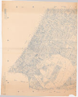
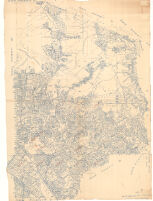
#2 Elysian Park Description: Cadastral map showing landowners.; Blue line print.; Some sheets are plastic treated cloth. Date: 1943 Resource Type: cartographic Collection: Henry J. Bruman Map Collection
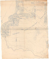
#27 Palos Verdes, Torrance Description: Cadastral map showing landowners.; Blue line print.; Some sheets are plastic treated cloth. Date: 1943 Resource Type: cartographic Collection: Henry J. Bruman Map Collection
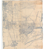
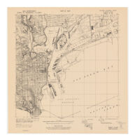
#28 San Pedro Description: Cadastral map showing landowners.; Blue line print.; Some sheets are plastic treated cloth. Date: 1943 Resource Type: cartographic Collection: Henry J. Bruman Map Collection
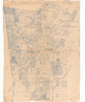
#32 San Antonio, San Pedro, Los Cerritos Description: Cadastral map showing landowners.; Blue line print.; Some sheets are plastic treated cloth. Date: 1943 Resource Type: cartographic Collection: Henry J. Bruman Map Collection
#41 Rancho San Rafael and Los Angeles and Vicinity. Watts Subdivision Description: Cadastral map showing landowners.; Blue line print.; Some sheets are plastic treated cloth. Date: 1943 Resource Type: cartographic Collection: Henry J. Bruman Map Collection
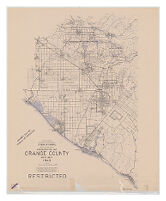
Administration Map Orange County West Half 1943 Date: 1943 Resource Type: cartographic Collection: Henry J. Bruman Map Collection
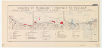
Beaches of Normandy - Vierville to Houlgate Date: 1943 Resource Type: cartographic Collection: Henry J. Bruman Map Collection