Using Digital Collections Content
About
Give Us Feedback
Search in
search for
Search
All Fields
Title
Subject
Search
Browse items
Subject
United States -- Maps
5
Berlin (Germany)--Maps.
4
Los Angeles (Calif.)--Maps
4
Public lands--United States-- Maps
4
California--Maps
3
more
Subject
»
Resource Type
cartographic
38
Genre
map
✕
[remove]
38
Thematic maps.
3
Location
United States
5
Berlin (Germany)
4
Los Angeles (Calif.)
4
California
3
Brazil
2
more
Location Sim
»
Date
Date range begin
–
Date range end
Current results range from
1920
to
1940
View distribution
Language
English
25
German
9
Spanish
5
French
4
Italian
1
more
Human Readable Language Sim
»
Collection
Henry J. Bruman Map Collection
37
East Asian Maps in the Bruman Collection
1
Repository
University of California, Los Angeles. Library. Henry J. Bruman Map Collection
37
Search Constraints
You searched for:
Genre
map
✖
Remove constraint Genre: map
Date
1936
✖
Remove constraint Date: 1936
Start Over
38
Catalog Results
Sort by Title (Z-A)
Relevance
Title (A-Z)
Title (Z-A)
Date (newest)
Date (oldest)
Number of results to display per page
50 per page
10
per page
20
per page
50
per page
100
per page
View results as:
List
Created with Sketch.
List View
List
Gallery
Created with Sketch.
Gallery View
Gallery
Search Results
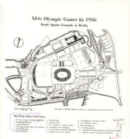
XIth Olympic Games in 1936: Reich Sports Grounds in Berlin
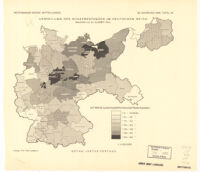
Verteilung Des Schafbestandes Im Deutschen Reich
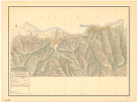
[Untitled Map of Western Europe in the 1930s]
Umgebung von Dresden
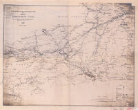
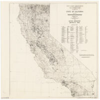
State of California : active irrigation districts 1936
Stadtplan von Erfurt
San Gabriel and Los Angeles Rivers Flood Control: Municipalities in the San Gabriel and Los Angeles Rivers Drainage Areas
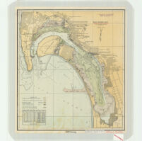
San Diego Bay based on U.S.C & G.S. Chart 5107" of May 13, 1936
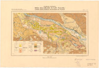
Resettlement Administration Land Utilization Division Land-Use Planning Section California Unit
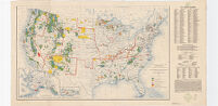
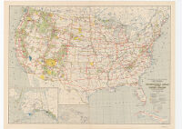
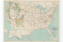
Recreational areas of the United States under federal or state government including Alaska and Hawaii
Recreational Areas of the United States
Recreational Areas of the United States
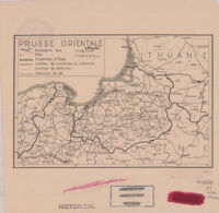
Prusse Orientale
Plan von Dresden Mit Genehmigung des Verlages Dr.Ing.Spohr Dresden
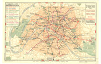
Paris Plan Offert Par le Chemin de fer Metropolitain Underground Railway.
[Ordance map of Scotland]
National Forests, State Forests, National Parks, National Monuments and Indian Reservations
Map of Part of the State of Rio de Janeiro Showing Hydro-electric Plants, Transmission Lines, Etc.
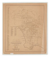
Map of Los Angeles Showing Location of Elementary Schools and Percentage of the Total Enrollment in Each School Comprised in the Five Leading...
Map of Berlin with the City Branches of the Bank
Mapa Geologiczna Kotliny Płockiej. Carte Géologique du Bassin de Płock.
Mapa de Chile
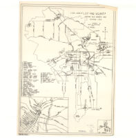
Los Angeles and vicinity : showing old adobes and historic sites
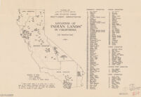
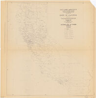
Location of Indian lands in California (132 reservations).
La Guaira y Maiquetia
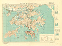
Hong Kong And New Territories
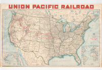
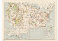
Geographically Correct Map of the United States Issued by Union Pacific Railroad
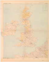
England
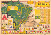
Economic Chart of Brazil
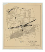
District zoning, map of the city of San Leandro, California : adopted by the Planning Commission of the City of San Leandro.
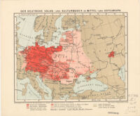
Der Deutsche Volks - und Kulturboden in Mittel - und Osteuropa
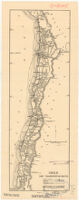
Chile Chief Transportation Routes
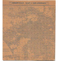
Bridwell’s map of Los Angeles
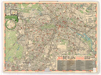
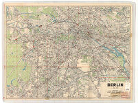
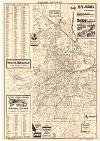
Berlin. Verlag Carle Grote, Berlin-Tempelhof (Berlag des Amtlichen Führers durch Berlin)
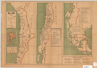
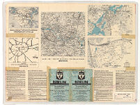
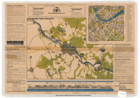
Berlin. Guide - Map with List of Streets and Special Maps: Centre of the City - Potsdam - Reich Sport Field etc.
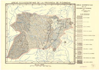
Areas Ecovegetativas de la Provincia de Pichincha
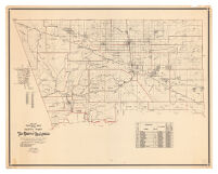
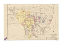
1936-1937 Precinct Map of the North Part of the County of Los Angeles
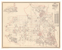
1936-1937 precinct map of Los Angeles City, San Fernando Valley district and vicinity
![[Untitled Map of Western Europe in the 1930s]](https://iiif.library.ucla.edu/iiif/2/ark%3A%2F21198%2Fzz002cf2q9/full/!200,200/0/default.jpg)

![[Ordance map of Scotland]](https://iiif.library.ucla.edu/iiif/2/ark%3A%2F21198%2Fzz002cfbmm/full/!200,200/0/default.jpg)