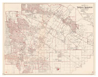
#2 Los Angeles TWP Description: Cadastral map showing landowners.; Blue line print.; Some sheets are plastic treated cloth. Date: 1932 Resource Type: cartographic Collection: Henry J. Bruman Map Collection
#35 City of Vernon, Rancho San Antonio. Description: Cadastral map showing landowners.; Blue line print.; Some sheets are plastic treated cloth. Date: 1922 Resource Type: cartographic Collection: Henry J. Bruman Map Collection
#54 Mission San Fernando Description: Cadastral map showing landowners.; Blue line print.; Some sheets are plastic treated cloth. Date: 1946 Resource Type: cartographic Collection: Henry J. Bruman Map Collection
#56 San Fernando Mission Description: Cadastral map showing landowners.; Blue line print.; Some sheets are plastic treated cloth. Date: 1940 Resource Type: cartographic Collection: Henry J. Bruman Map Collection
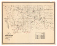
1936-1937 Precinct Map of the North Part of the County of Los Angeles Date: 1936 Resource Type: cartographic Collection: Henry J. Bruman Map Collection
1945 precinct map no. 11 of the county of Los Angeles / compiled by Alfred Jones, County Surveyor Date: 1945 Resource Type: cartographic Collection: Henry J. Bruman Map Collection
1945 precinct map no. 12 of the county of Los Angeles Date: 1945 Resource Type: cartographic Collection: Henry J. Bruman Map Collection
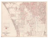
Additions to the City of Los Angeles Since May 16th, 1922 Date: [1922] Resource Type: cartographic Collection: Henry J. Bruman Map Collection
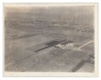
Black and White Photograph of A Los Angeles Airport Date: c1930 Resource Type: cartographic Collection: Henry J. Bruman Map Collection
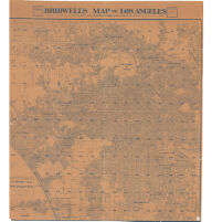
Bridwell’s map of Los Angeles Date: 193U Resource Type: cartographic Collection: Henry J. Bruman Map Collection