Search
Search Constraints
You searched for:
Genre
map
Remove constraint Genre: map
Language
English
Remove constraint Language: English
Start Over
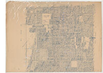
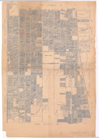
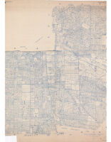


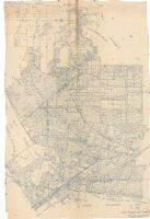

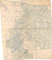
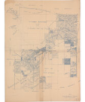
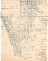
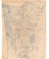


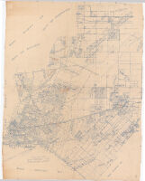

![1990 census tract boundaries : [Los Angeles County, California].](https://iiif.library.ucla.edu/iiif/2/ark%3A%2F21198%2Fz16t4nxh/full/!200,200/0/default.jpg)

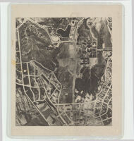
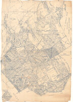
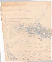
![[Aerial photograph of the Santa Barbara County coast]](https://iiif.library.ucla.edu/iiif/2/ark%3A%2F21198%2Fzz002c1fs8/full/!200,200/0/default.jpg)