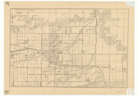
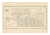
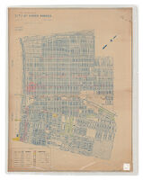
City of Glendora Description: Shows buildings, section and tract numbers, and names of landowners. Date: 1926 Resource Type: cartographic Collection: Henry J. Bruman Map Collection
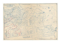
Map of tracts no. 9687, 10467, & 7792 : showing subdivision plan of Ganesha Heights tract, Pomona, California Description: Includes lot numbers and acreages. Date: 1930 Resource Type: cartographic Collection: Henry J. Bruman Map Collection
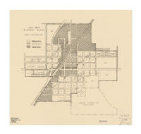
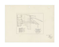
Key map, Dixon City Date: [1938?] Resource Type: cartographic Collection: Henry J. Bruman Map Collection
Map of the city of Long Beach, Los Angeles County, California Description: compiled, from official records and from other reliable data, by C.I. Goucher, C.E. Date: [190-?]1900 Resource Type: cartographic Collection: Henry J. Bruman Map Collection
Block data map, Maywood : real property inventory--1939 Description: "Work Projects Administration project-no. 665-07-3-269." Date: [1939] Resource Type: cartographic Collection: Henry J. Bruman Map Collection
Map of the city of El Segundo : compiled from the records of Los Angeles County, California Description: Includes inset location map. Date: 1932 Resource Type: cartographic Collection: Henry J. Bruman Map Collection
Map of the city of Long Beach, Los Angeles County, California Description: compiled, from official records and from other reliable data, by C.I. Goucher, C.E. Date: [1944?]1900[190-?] Resource Type: cartographic Collection: Henry J. Bruman Map Collection
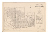
Official map of the city of Calexico, Imperial County, California Description: "Adopted as the official map of the city of Calexico, Oct. 26th, 1920." Date: 1920 Resource Type: cartographic Collection: Henry J. Bruman Map Collection
Block data map, Vernon : real property inventory, 1939 / the Housing Authority of the County of Los Angeles. Description: "Work Projects Administration project-no. 665-07-3-269." Date: 1939 Resource Type: cartographic Collection: Henry J. Bruman Map Collection
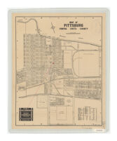
Map of Pittsburg, Contra Costa County Description: Oriented with north toward upper left. Date: 1930[193-?] Resource Type: cartographic Collection: Henry J. Bruman Map Collection
Land utilization of the City of Santa Monica Description: Blueline print used as base map: City of Santa Monica / Howard B. Carter, City Engineer, 1926. Date: 1933 Resource Type: cartographic Collection: Henry J. Bruman Map Collection
Map of the city of Chino / Henry Garrett. Description: Covers area bounded generally by Walnut St., Ramona Ave., Edison Ave., and Magnolia. Date: 1940 Resource Type: cartographic Collection: Henry J. Bruman Map Collection
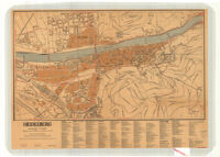
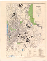
Town Plan of Düsseldorf Date: 1943 Resource Type: cartographic Collection: Henry J. Bruman Map Collection
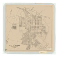
Map of city of Redding : Shasta County, California Description: North shown toward upper right. Date: [1941] Resource Type: cartographic Collection: Henry J. Bruman Map Collection
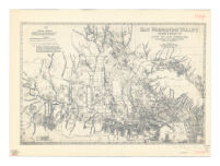
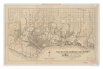
Map of Santa Barbara and vicinity Description: Shows "Paved roads, 1922." Date: 1922[ca. 1922] Resource Type: cartographic Collection: Henry J. Bruman Map Collection
Map of Pacific Grove, California Description: Erwin Dames, City Engineer. Date: 1943 Resource Type: cartographic Collection: Henry J. Bruman Map Collection
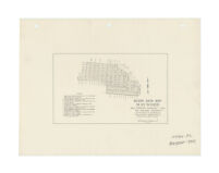
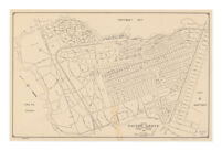
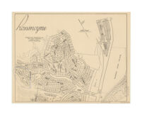
Rossmoyne / W.S. Althouse, civil engineer. Description: Shows tract and lot numbers in the vicinity of Royal Boulevard, north of W.F. Markham estate. Date: [ca. 1926] Resource Type: cartographic Collection: Henry J. Bruman Map Collection
Map of the subdivided portion of the city of Avalon, Santa Catalina Island, California Description: A.B. Waddingham, civil engineer. Date: [1920?] Resource Type: cartographic Collection: Henry J. Bruman Map Collection
Block data map, Lynwood : real property inventory--1939 Description: UCLA copy has pencilled notes on verso: "R.&S. 1079-4" and "map no. 5200 Index." Date: [1939] Resource Type: cartographic Collection: Henry J. Bruman Map Collection