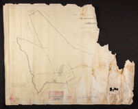
This file contains 4 maps and Ordnance Surveys of the remaining areas of Ibicaba farm in 1977: (1) “Global map of the lands of Ibicaba farm – Cordeirópolis” (free translation), as registered in one of the Notarial Registry Offices of the municipality of Iracemápolis. (2) Ordnance Survey of Ibicaba farm and its boundaries. (3) “Sketch of the remaining areas of Ibicaba farm”. (4) Idem, in tracing paper.