Search
Resource Type
- cartographic[remove]3,612
- still image31
Search Constraints
You searched for:
Resource Type
cartographic
Remove constraint Resource Type: cartographic
Start Over
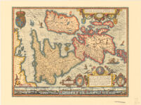
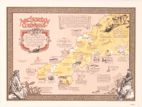
![[Ancient Map of British Isles]](https://iiif.library.ucla.edu/iiif/2/ark%3A%2F21198%2Fzz002cf5t9/full/!200,200/0/default.jpg)
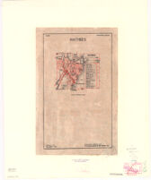
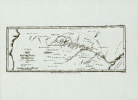
![[Asbestos Deposits (from unpublished map)]](https://iiif.library.ucla.edu/iiif/2/ark%3A%2F21198%2Fzz002cfm47/full/!200,200/0/default.jpg)

![[Autograph letter from R. B. Fisher]](https://iiif.library.ucla.edu/iiif/2/ark%3A%2F21198%2Fzz002bwsnt/full/!200,200/0/default.jpg)