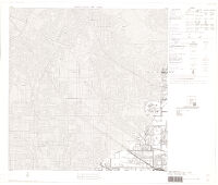
County block map (1990), Los Angeles County (037), state, California (06). PS 52
Item Overview
- Title
- County block map (1990), Los Angeles County (037), state, California (06). PS 52
- Creator
- United States. Bureau of the Census.
- Date Created
- 1991-
- Date
- 1991
- Place of Origin
- Washington, D.C.
- Publisher
- U.S. Dept. of Commerce, Bureau of the Census
- Language
- English
- Collection
- Henry J. Bruman Map Collection
Notes
- Description
-
Computer generated maps. Maps plotted in 1991.
Includes text, "Key to adjacent sheets," and index map.
Some maps are called "inset sheet."
Physical Description
- Dimensions
- 81 x 78 cm
Find This Item
- Repository
- University of California, Los Angeles. Library. Henry J. Bruman Map Collection
- ARK
- ark:/21198/z1fn59dg
- Opac url
- https://search.library.ucla.edu/permalink/01UCS_LAL/trta7g/alma9934710363606533
- Manifest url
-

Access Condition
- Rights statement
- unknown